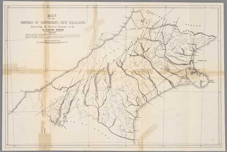
Map of the Province of Canterbury ... illustrating the general structure of the dividing range
Title: Map of the Province of Canterbury ... illustrating the general structure of the dividing range
Date: 1865
Multipart Note: Fig. 5
Physical Description: 74 x 50 cm.
Scale etc: Scale [ca. 1:633600]
Notes: From: Canterbury (N.Z.). Provincial Council. Journal of proceedings of the Provincial Council, Session xxxIII, 1865: Report upon the practicability of constructing a road through the Otira Gorge, by Edward Dobson. Christchurch [N.Z.] : The Council, 1865.
File Reference: CCLMaps 543240
View enlargable version (with Zoomify)
View further details (catalogue record)
Click on image to view thumbnails ~ Title index ~ Digital Maps homepage
Copyright status of this item:
We believe the image is free of copyright. If you have information to the contrary, please let us know.
Copyright and other restrictions
This material has been provided for private study purposes (such as school projects, family and local history research) and any published reproduction (print or electronic) may infringe copyright law. Please contact Christchurch City Libraries if you have any questions relating to the use of this material. It is the responsibility of the user to obtain clearance from the copyright holder.


 Discover your family’s history at our libraries
