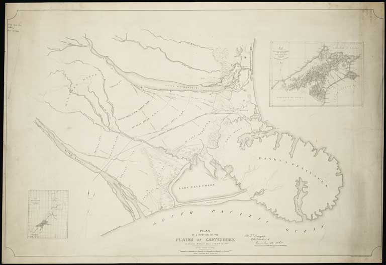
Plan of a portion of the plains of Canterbury
Title: Plan of a portion of the plains of Canterbury, to illustrate Mr. Doyne's report of the 30th Novr. 1865
Date: 1865
Scale etc: Scale [1:126,720]
File Reference: ATLMAPS ATL-Acc-7674
Other Reference: MapColl 834.44cdc/1865/7674
View enlargable version (with Zoomify)
View further details (catalogue record)
Click on image to view thumbnails ~ Title index ~ Digital Maps homepage
Copyright status of this item:
We believe the items are free of copyright. If you have information to the contrary, please let us know.
This image is provided for research purposes. A high resolution image can be requested from the National Library of New Zealand, Te Puna Mātauranga o Aotearoa and, where appropriate, the copyright holder
Copyright and other restrictions
This material has been provided for private study purposes (such as school projects, family and local history research) and any published reproduction (print or electronic) may infringe copyright law. Please contact Christchurch City Libraries if you have any questions relating to the use of this material. It is the responsibility of the user to obtain clearance from the copyright holder.


 Discover your family’s history at our libraries
