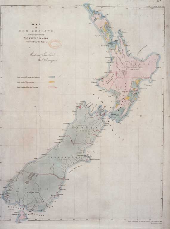
Map of New Zealand showing the extent of land acquired from the Maori
Map of New Zealand showing the extent of land acquired from the Maori
[between 1860 and 1862]
Shows almost all of the South Island acquired
File Reference CCL Photo Collection 22, Img01373
General Copyright and other restrictions
This material has been provided for private study purposes (such as school projects, family and local history research) and any published reproduction (print or electronic) may infringe copyright law. Please contact Christchurch City Libraries if you have any questions relating to the use of this material. It is the responsibility of the user to obtain clearance from the copyright holder.


