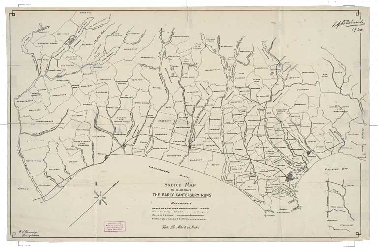
Sketch map to illustrate The early Canterbury runs
Title: Sketch map to illustrate The early Canterbury runs.
Date: 1930
Physical Description: 1 map : black and white ; 49 x 77 cm, on sheet 57 x 84 cm.
Scale etc: Scale [ca. 1:380,160]. 1 in. to 6 miles.
Notes: Copied from: The early Canterbury runs. First series / by L.G.D. Acland. Auckland, N.Z. : Whitcombe and Tombs, 1930.
File Reference: CCLMaps 490414
View enlargable version (with Zoomify)
View further details (catalogue record)
Click on image to view thumbnails ~ Title index ~ Digital Maps homepage
Copyright status of this item:
We believe the image is free of copyright. If you have information to the contrary, please let us know.
Copyright and other restrictions
This material has been provided for private study purposes (such as school projects, family and local history research) and any published reproduction (print or electronic) may infringe copyright law. Please contact Christchurch City Libraries if you have any questions relating to the use of this material. It is the responsibility of the user to obtain clearance from the copyright holder.


 Discover your family’s history at our libraries
