You are here: Home > Heritage > Digital maps
Heritage
Home
Explore thousands of images and more with Canterbury Stories
Discover your family’s history at our libraries
Click on Thumbnail to view enlargement ~ Title index ~ Printing Tips
Previous Page ~ Next Page

 Discover your family’s history at our libraries
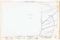 County of Waimairi - District Scheme. Planning maps.
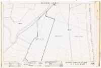 County of Waimairi - District Scheme. Planning maps.
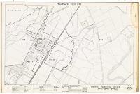 County of Waimairi - District Scheme. Planning maps.
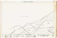 County of Waimairi - District Scheme. Planning maps.
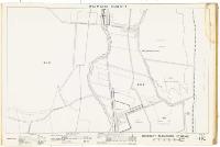 County of Waimairi - District Scheme. Planning maps.
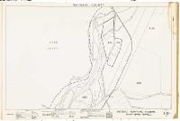 County of Waimairi - District Scheme. Planning maps.
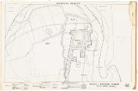 County of Waimairi - District Scheme. Planning maps.
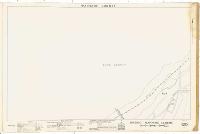 County of Waimairi - District Scheme. Planning maps.
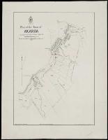 Plan of the town of Akaroa
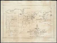 Plan of sections in blocks I and II, Lyndon Survey District, Hanmer Plains
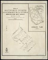 Plan of Mayfield North village homestead special settlement, Shepherd's Bush survey district, Blocks IV & VIII
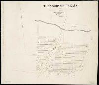 Township of Rakaia
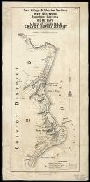 Town, village & suburban sections Port Robinson, suburban sections Gore Bay, & parts of Blocks IX & XI, Cheviot survey district
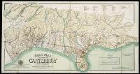 Road map of the province of Canterbury, New Zealand.
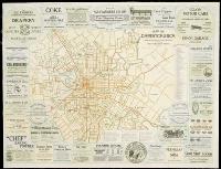 Map of Christchurch