You are here: Home > Heritage > Digital maps
Heritage
Home
Explore thousands of images and more with Canterbury Stories
Discover your family’s history at our libraries
Click on Thumbnail to view enlargement ~ Title index ~ Printing Tips
Previous Page ~ Next Page

 Discover your family’s history at our libraries
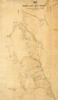 Map of the Mount Cook Road District
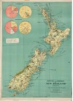 Products and industries of New Zealand
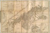 Map of the Province of Canterbury, New Zealand shewing the pasturage runs
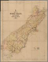 Map of the Middle Island, New Zealand, shewing the counties
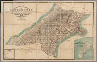 Map of the provincial district of Canterbury / compiled by H.R. Schmidt
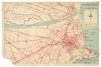 Christchurch and area
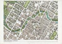 City of Christchurch, central area
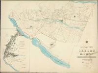 Map of the Oxford Road District
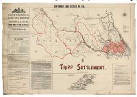 Tripp settlement
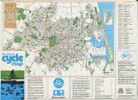 Christchurch cycle map
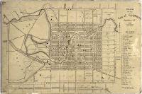 Plan of the city of Christchurch, Canterbury, N.Z., 1874
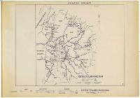 Akaroa County district planning maps
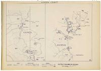 Akaroa County district planning maps
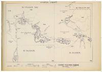 Akaroa County district planning maps
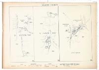 Akaroa County district planning maps