You are here: Home > Heritage > Digital maps
Heritage
Digital Maps
Click on Thumbnail to view enlargement ~ Title index ~ Printing Tips
Previous Page ~ Next Page
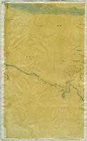
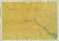 Map of surveyed districts, Canterbury Map of surveyed districts, Canterbury
1852 |
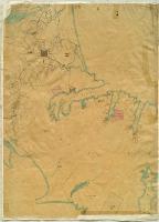
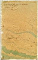 Map of surveyed districts, Canterbury Map of surveyed districts, Canterbury
1852 |
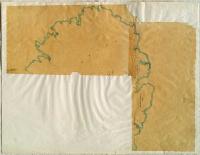
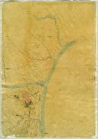 Map of surveyed districts, Canterbury Map of surveyed districts, Canterbury
1852 |
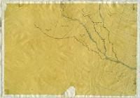 Map of surveyed districts, Canterbury Map of surveyed districts, Canterbury
1852 |
 Map of surveyed districts, Canterbury Map of surveyed districts, Canterbury
1852 |
 Map of surveyed districts, Canterbury Map of surveyed districts, Canterbury
1852 |
 Map of surveyed districts, Canterbury Map of surveyed districts, Canterbury
1852 |
 Kowai survey district Kowai survey district
1950 |
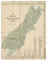 Middle Island (Te Wai-Pounamu) New Zealand Middle Island (Te Wai-Pounamu) New Zealand
1904 |
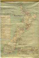 New Zealand New Zealand
1889 |
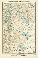 New Zealand : the Southern Alps : eastern slope of Mt. Cook New Zealand : the Southern Alps : eastern slope of Mt. Cook
1904 |
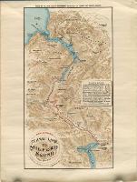 New Zealand : Te Anau Lake to Milford Sound : tourist foot road New Zealand : Te Anau Lake to Milford Sound : tourist foot road
1904 |
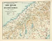 South Westland and central portion of Southern Alps, New Zealand South Westland and central portion of Southern Alps, New Zealand
[190-?] |
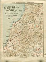 Portion of West Coast of Middle Island, New Zealand, showing route from Nelson via Buller to Hokitika, and Otira Gorge route Portion of West Coast of Middle Island, New Zealand, showing route from Nelson via Buller to Hokitika, and Otira Gorge route
[190-?] |
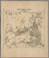
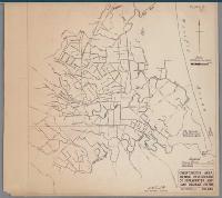 Christchurch area showing development of the stormwater and land drainage system Christchurch area showing development of the stormwater and land drainage system
1963 |
Previous Page ~ Next Page

 Discover your family’s history at our libraries