You are here: Home > Heritage > Digital maps
Heritage
Digital Maps
Click on Thumbnail to view enlargement ~ Title index ~ Printing Tips
Previous Page ~ Next Page
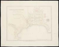 Town of Lyttelton Town of Lyttelton
[186-?] |
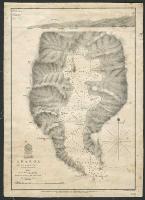 Akaroa Harbour Akaroa Harbour
1840 |
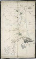 Trigonometrical and topographical survey of the districts of Mandeville and Christchurch Trigonometrical and topographical survey of the districts of Mandeville and Christchurch
1850 |
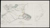 Sketch map shewing the site of the Canterbury settlement Sketch map shewing the site of the Canterbury settlement
1849 |
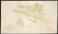 Plan of the Lowry Peak Run, in the Amuri District, province of Nelson, New Zealand Plan of the Lowry Peak Run, in the Amuri District, province of Nelson, New Zealand
[ca. 1854] |
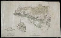 Plan of the Lowry Peak Run, in the Amuri District, province of Nelson Plan of the Lowry Peak Run, in the Amuri District, province of Nelson
[ca. 1854] |
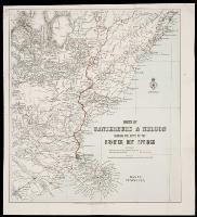 Parts of Canterbury and Nelson, shewing the route to Hanmer hot springs Parts of Canterbury and Nelson, shewing the route to Hanmer hot springs
1900 |
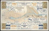 Birds eye view of proposed Christchurch Canal Birds eye view of proposed Christchurch Canal
[1906] |
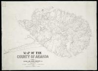 Map of the County of Akaroa, 1891, shewing Road Board districts etc. Map of the County of Akaroa, 1891, shewing Road Board districts etc.
1891 |
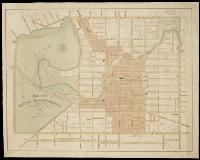
 Christchurch, Canterbury Christchurch, Canterbury
1877 |
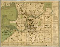
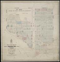 Plan of the town of Ashburton Plan of the town of Ashburton
1879 |
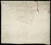 Plan of the western moiety of RI. section no. 69, Christchurch Plan of the western moiety of RI. section no. 69, Christchurch
[ca. 1879]. |
![Image of [Upper Waimakariri and Lake Coleridge Road Districts]](ATL-Acc-3162.jpg) [Upper Waimakariri and Lake Coleridge Road Districts] [Upper Waimakariri and Lake Coleridge Road Districts]
[ca. 1880] |
![Image of [Upper Waimakariri and Lake Coleridge Road Districts]](ATL-Acc-3163.jpg) [Upper Waimakariri and Lake Coleridge Road Districts] [Upper Waimakariri and Lake Coleridge Road Districts]
[ca. 1880] |
 Plan of the city of Christchurch (Selwyn County) Canterbury, N.Z., 1883 Plan of the city of Christchurch (Selwyn County) Canterbury, N.Z., 1883
1883 |
Previous Page ~ Next Page

 Discover your family’s history at our libraries