You are here: Home > Heritage > Digital maps
Heritage
Digital Maps
Click on Thumbnail to view enlargement ~ Title index ~ Printing Tips
Previous Page ~ Next Page
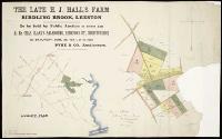 The late H.J. Hall's farm, Birdling Brook, Leeston The late H.J. Hall's farm, Birdling Brook, Leeston
1897 |
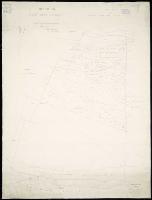 Map of the Cust Road District Map of the Cust Road District
1866 |
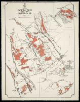 Pastoral runs in Canterbury, N.Z. withheld for sale and settlement in 1890 Pastoral runs in Canterbury, N.Z. withheld for sale and settlement in 1890
1889 |
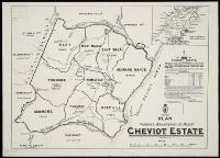 Plan shewing boundaries of blocks, Cheviot Estate Plan shewing boundaries of blocks, Cheviot Estate
1893 |
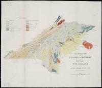 Geological map of the Provinces of Canterbury and Westland, Geological map of the Provinces of Canterbury and Westland,
[ca. 1866] |
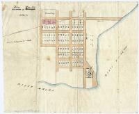
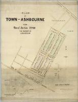 Plan of town of Ashbourne Plan of town of Ashbourne
[ca. 1883?] |
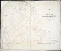 Map of the Heathcote Road district Map of the Heathcote Road district
1879 |
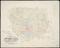 Sketch map of the Christchurch district local Board of Health and Drainage District Sketch map of the Christchurch district local Board of Health and Drainage District
[1882] |
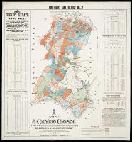 Canterbury Land District. No. 72 : map of the Cheviot estate. Canterbury Land District. No. 72 : map of the Cheviot estate.
1893 |
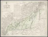 Plan shewing pastoral runs in Canterbury, N.Z. Plan shewing pastoral runs in Canterbury, N.Z.
[1889] |
 The provinces of Canterbury and Westland, New Zealand during the great glacier period The provinces of Canterbury and Westland, New Zealand during the great glacier period
[ca. 1875] |
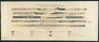 Geological sections of Lyttelton and Christchurch railway tunnel Geological sections of Lyttelton and Christchurch railway tunnel
[ca. 1875] |
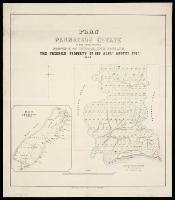 Plan of the Parnassus Estate in the Amuri District, Province of Nelson, New Zealand Plan of the Parnassus Estate in the Amuri District, Province of Nelson, New Zealand
1868 |
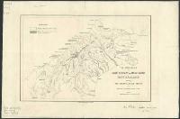
 Town of Waiau Town of Waiau
[before 1866?] |
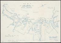 Guide map of Akaroa, Banks Peninsula Guide map of Akaroa, Banks Peninsula
1968 |
Previous Page ~ Next Page

 Discover your family’s history at our libraries