You are here: Home > Heritage > Digital maps
Heritage
Home
Explore thousands of images and more with Canterbury Stories
Discover your family’s history at our libraries
Click on Thumbnail to view enlargement ~ Title index ~ Printing Tips
Previous Page ~ Next Page

 Discover your family’s history at our libraries
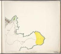 District planning scheme, section one (zoning)
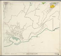 District planning scheme, section one (zoning)
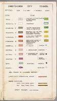 District planning scheme, section one (zoning)
 Map of Province of Canterbury, New Zealand
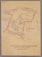 Plan of Pt. Res. 24 : Acclimatisation grounds
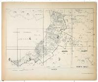 Akaroa County district planning maps
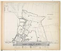 Akaroa County district planning maps
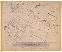 Akaroa County district planning maps
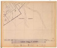 Akaroa County district planning maps
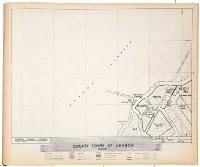 Akaroa County district planning maps
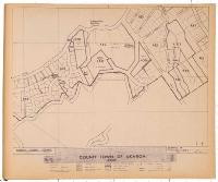 Akaroa County district planning maps
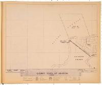 Akaroa County district planning maps
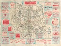 Map of Christchurch
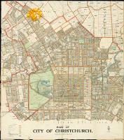 Part of city of Christchurch
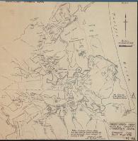 Christchurch area