You are here: Home > Heritage > Digital maps
Heritage
Home
Explore thousands of images and more with Canterbury Stories
Discover your family’s history at our libraries
Click on Thumbnail to view enlargement ~ Title index ~ Printing Tips
Previous Page ~ Next Page

 Discover your family’s history at our libraries
 Extract from the French Government chart of Banks’ Peninsula
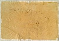
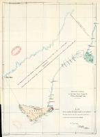 Ko te whenua tenei ka oti te tuku e Ngaitahu ki a Wairaweke ki te Whakaminega o Niu Tireni i tukua ki Akaroa e te 12 o Hune, 1848
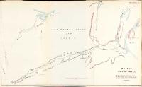 Wairau plain and valley
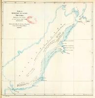 Sketch of Middle Island (New Zealand) shewing the East Coast as laid down by Captn. Stokes
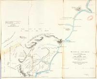 Middle Island
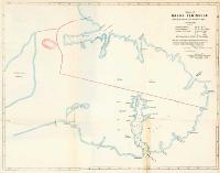 Chart of Banks’ Peninsula
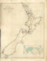 Map of the colony of New Zealand from official documents
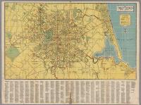 Map of Christchurch
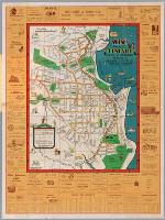 Wise’s map of Timaru
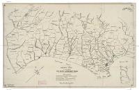 Sketch map to illustrate The early Canterbury runs
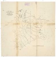 Sketch map showing the routes from the Canterbury Plains to the western gold fields
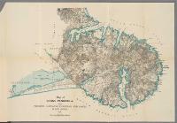 Map of Banks Peninsula showing ... European and Maori place-names
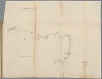 Sumner road ordinance plan
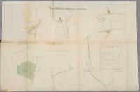 Reserves for “General Purposes”
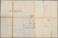 Association reserves at port Lyttelton and Sumner