You are here: Home > Heritage > Digital maps
Heritage
Home
Explore thousands of images and more with Canterbury Stories
Discover your family’s history at our libraries
Click on Thumbnail to view enlargement ~ Title index ~ Printing Tips
Previous Page ~ Next Page

 Discover your family’s history at our libraries
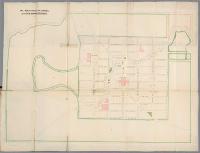 Association reserves, at Lyttelton otherwise Christchurch
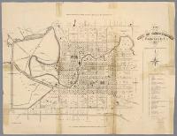 Plan of the city of Christchurch, Canterbury, N.Z.
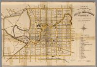 New Zealand Post Office Directory map of the city of Christchurch
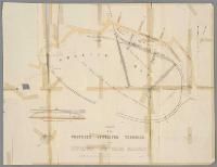 Plan of the proposed Lyttelton terminus of the Lyttelton and Christchurch railway
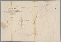 Sketch map shewing the positions heights ... Waimakariri & Taramakau
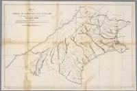 Map of the Province of Canterbury ... illustrating the general structure of the dividing range
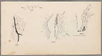 Miscellaneous diagrams, Figs 1-4
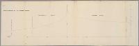 Sketch section of the Hurunui Saddle
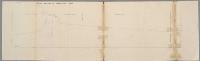 Sketch section of Worlsey’s Pass
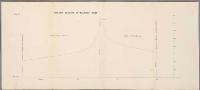 Sketch section of Walkers Pass
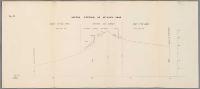 Sketch section of Arthur’s Pass
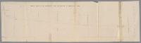 Sketch section of the Waimakariri from the Poulter to Browning’s Pass
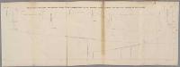 Sketch section along the dividing range from Harman’s Pass to the Hurunui Saddle
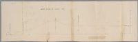 Sketch section of Haast’s Pass